 CULTURETECHLENS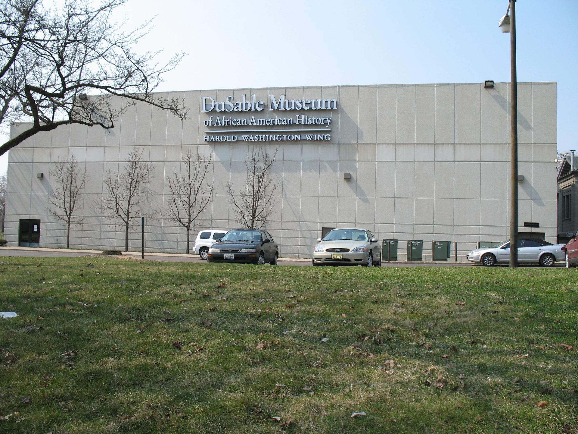
Photo: TonyTheTiger, CC BY-SA 3.0, via Wikimedia Commons
Maps
The CultureTechLens archive, placed on the map — real locations from the knowledge graph, geocoded and clickable.
Legend:ChurchInstitutionSchoolOrganizationVenue
By neighborhood
- Woodlawn — 7 locations
- Englewood — 7 locations
- Chicago Lawn — 1 location
15 mapped locations. Coordinates via OpenStreetMap Nominatim from street addresses recorded in the knowledge graph’s geography records. One record (The Woodlawn Organization) carries a neighborhood-level address only and is not plotted as a point. Every marker links to its entity page in the knowledge graph.
Cite as: CultureTechLens, "Maps," 2026. https://culturetechlens.com/maps/
Source: CultureTechLens
From the Archive
The archive in pictures
The people, places, and institutions this work documents. Photographs from the CultureTechLens research record — rights-cleared, credited, and cited like everything else here.
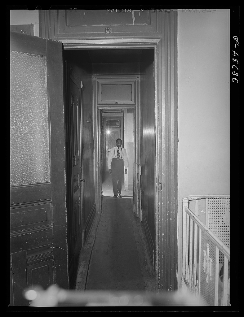
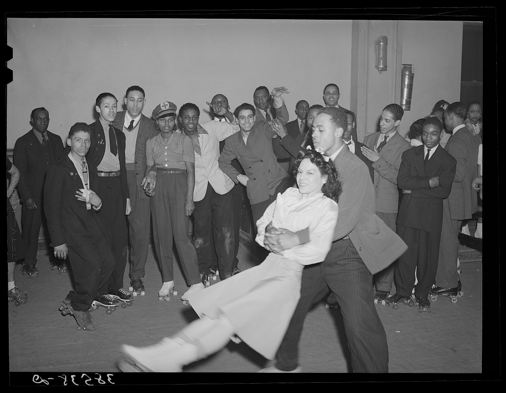
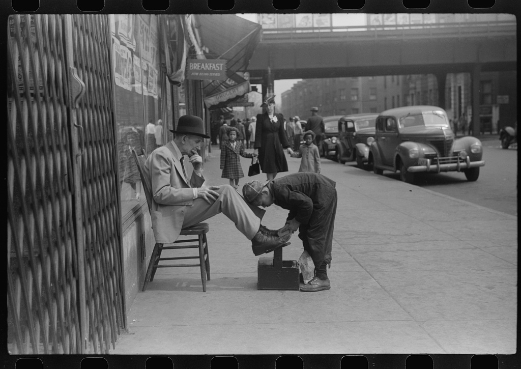
Trust & evidence
Evidence before authority. CultureTechLens publishes its methods, its limits, and its corrections alongside its findings. Claims carry grades — VERIFIED, SUPPORTED, PROVISIONAL, DISPUTED, UNRESOLVED — and unknowns are never reported as zero.
Every claim graded. Every source named. Every correction public — none to date.