 CULTURETECHLENS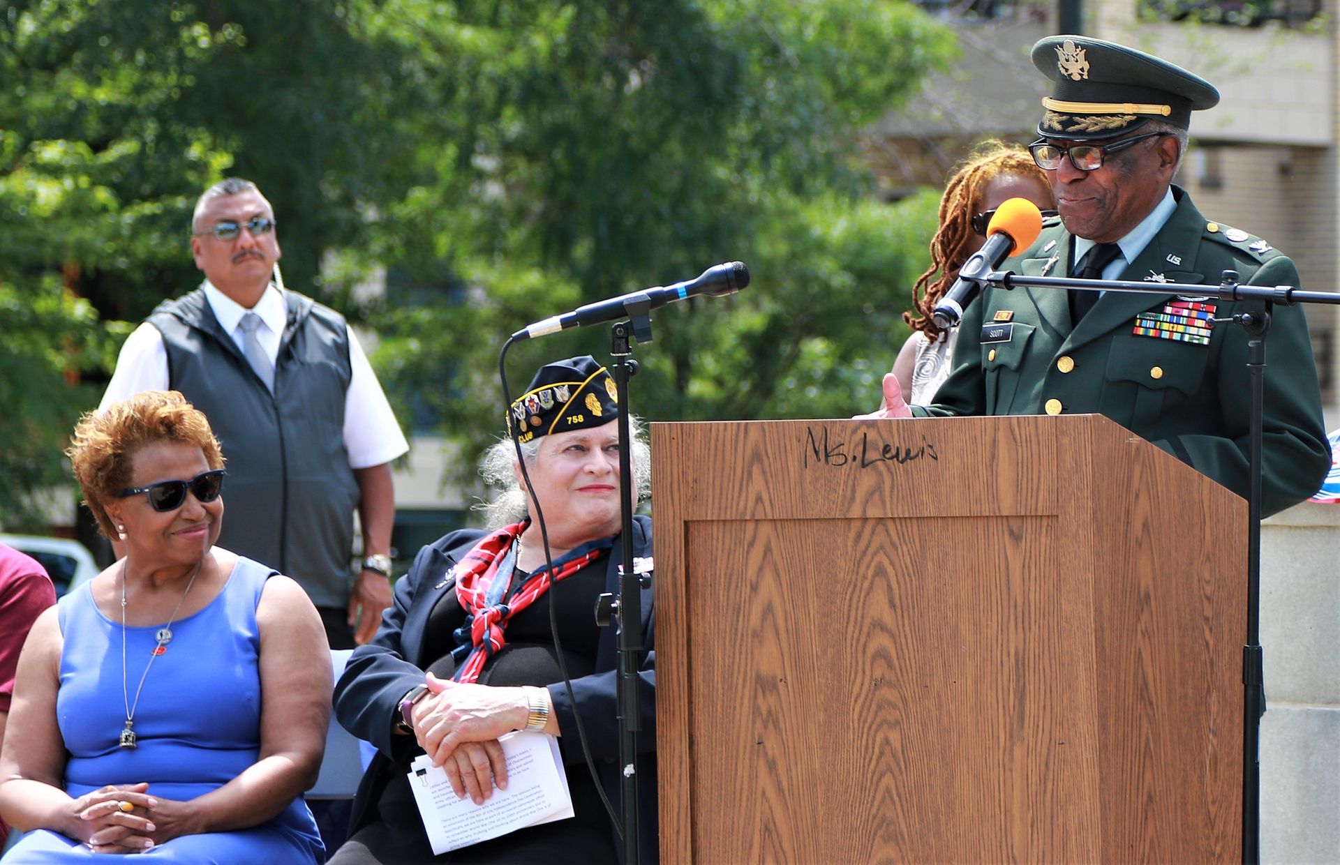
Photo: Lt. Col. Bradford Leighton, Illinois National Guard (public domain), via Wikimedia Commons
Washington Park (community area), Chicago, Illinois
Washington Park is a South Side Chicago community area anchored by the 372-acre Olmsted-designed park of the same name, which became an overwhelmingly Black neighborhood during the Great Migration and remains one of Chicago's most historically significant Black cultural landscapes.
Dossier ID: CTL-RD-PLACE-000001
Entity type: Place — neighborhood / City of Chicago community area (#40 of 77)
Status: Research · v1.0 · 2026-09-28
Executive profile
Washington Park is Chicago's Community Area 40, a 1.48-square-mile South Side neighborhood bounded by 51st Street, 60th Street, Cottage Grove Avenue, and the Dan Ryan Expressway. In the late 19th century it was a white working-class and affluent boulevard district; during the Great Migration it underwent one of Chicago's fastest racial transitions — 7.8% white by 1930, over 90% Black by 1940 — and has remained almost exclusively African American since. Its population peaked at 56,856 in 1950 and fell to 12,707 by 2020, driven by white flight, deindustrialization, and large-scale clearance under the city's Land Clearance Commission. CTL establishes Washington Park as a layered Black cultural landscape: home since 1973 to the DuSable Black History Museum and Education Center; terminus and festival ground of the Bud Billiken Parade (founded 1929, the nation's largest African-American parade); site of Lorado Taft's Fountain of Time (1922); setting of James T. Farrell's Studs Lonigan and a drive-through scene in Richard Wright's Native Son; childhood home of filmmaker Melvin Van Peebles and Gov. Deval Patrick; and the stage of the 34-day Dyett High School hunger strike (2015) that forced Chicago Public Schools to reopen the school as a neighborhood arts high school.
Significance
- C-013 Washington Park was one of the principal receiving neighborhoods of the Great Migration's southward expansion in the 1920s — the Black Belt's growth edge, contested block by block through bombings and covenants. Without it, the geography of Black Chicago's expansion is incomplete. VERIFIED
- C-016 Since 1973 it has housed the DuSable Black History Museum and Education Center, the oldest independent museum of African American history in the United States — the institution's park presence makes Washington Park a national anchor of Black memory infrastructure. VERIFIED
- C-017 It is the annual terminus of the Bud Billiken Parade (1929–present), the largest African-American parade in the United States — a living cultural institution, not a historic footnote. VERIFIED
- C-019 The 2015 Dyett hunger strike made Washington Park a national symbol of the fight against school closings in Black neighborhoods (cf. Eve Ewing, Ghosts in the Schoolyard, 2018). VERIFIED
- C-035 The failed 2016 Olympic stadium bid made Washington Park the citywide test case for mega-event development in a historic Black park landscape — community opposition preserved the Olmsted meadow. VERIFIED
- C-024/C-025 Its imprint on American literature (Studs Lonigan, Native Son, Black Metropolis) gives it a documentary footprint few Chicago neighborhoods match. --- SUPPORTED
What remains uncertain
What remains uncertain: the pre-1930 institutional record of Black churches and businesses, women's organizational history, and precise block-level data on clearance-era displacement.
Full dossier + evidence file in the open research repository
Source: CultureTechLens
Trust & evidence
Evidence before authority. CultureTechLens publishes its methods, its limits, and its corrections alongside its findings. Claims carry grades — VERIFIED, SUPPORTED, PROVISIONAL, DISPUTED, UNRESOLVED — and unknowns are never reported as zero.